2026-04-05
Categories: Travel Camping
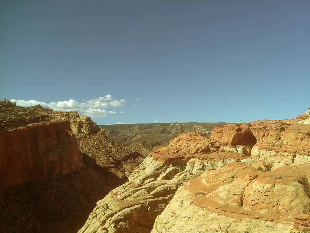
Last week Margo and I drove all the way to the remote, Capitol Reef National Park, in Utah. Our plan was to complete a two night backpacking loop through canyons, creeks, and overlooks right in the center of the park. We then would continue East to Moab, UT to catch some rest in a hotel before visiting Arches and Canyonlands National Parks.
We had decided that it had been too long since we had gone camping, so we both planned to take a week off work in April and go on an adventure, somewhere, wherever, in nature. So we told our bosses that we would be taking the time off, but still had to come up with a plan of where we would actually be going. I checked online and all the campsites with online reservation systems are almost always booked out months in advance, and our planned time off was coming up in just a couple weeks. At first I looked at campgrounds near us in California, but everything I could find was booked. Looking further away I realized that mid April in Spring is an ideal time to visit many of the great National Parks in Utah as the weather hasn't got too scorching hot, and is no longer totally freezing. Plus Margo had never been to many of the parks out there and was very excited at the idea of getting to add more National Park stamps to her stamp book collection.
I had been to Capitol Reef as a little kid over 10 years ago, and had very fond memories of camping there with my family so I decided to look at what our options for camping were. As expected almost all the campsites in the whole region around Capitol Reef were booked up, but I learned that backpacking in the park is free, and although permits are required they are given out freely at the visitors center. I then found some youtube videos that detailed the Extravaganza Loop and the plan began to form. The Extravaganza loop is 26 mile loop that goes through several of the major features of the park in the Fruita Campground area. We ended up backpacking the loop in three days and two nights. At the end of our trip we were pretty tired, but this trip will be one I will remember, so much so that I thought I would write it all down.
To get to the park was quite a journey, and mostly consisted of driving on the I-50 "The Loneliest Road in America" to take us all the way through Nevada. Despite being the loneliest road, we still had a pretty eventful drive. We saw wild horses, prong horn, our car hit a tumble weed, I ate the most disgusting grilled cheese sandwhich ever(it was from Sonic and I will never be going there again), and we even made a quick pit stop to see some petroglyphs out in the middle of nowhere. As we were driving through what felt like the middle of nowhere Nevada we saw a sign that said "Hickison Petroglyph Recreation Area" and we pulled out into a dirt road leading up to a small wooded and rocky area. We completed a quick 0.3 mile loop to see the petroglyphs on some of the small rock outcroppings which admittedly we weren't very impressed by. The petroglyphs were mostly abstract straight lines, along with some horseshoe shaped designs, and someone who graffitied "ERIN" across the rock face. However, after looking up the petroglyphs now I'm astonished to learn that the ones at the site we visited are estimated to be prehistoric, made possibly around 10,000 BC! (We would later see lots of petroglyphs in Utah but all dating to around 1000 years old). We only had a few short stops though, and to start out the hike on time we had no other option than to split the drive into two days. So we stayed the night at Ely, Nevada which was something like three or four hours from Captiol Reef.
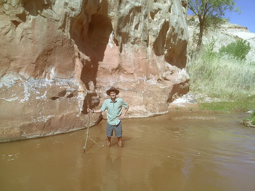
Me in the Fremont River. The river is named after John C Fremont.
We arrived at the park around three and stopped by the visitors center to pick up our permit. We quickly made our way over the the Spring Canyon trailhead and waded across the Fremont River to start our hike. This was pretty much the only water source we passed for the day, so we made sure to bring lots of water with us. The hike through Lower Spring Canyon was spectacular. There were towering canyon walls and smoothed rock features for the entire 8 miles through the canyon. We hiked along the sandy wash of the dry creek bed, and each twist in the canyon revealed another amazing section of the canyon walls. For the full eight miles through the canyon we didn't see a single person, just a ton of lizards(I think they were mostly Northern Platue and Whip Tail Lizards).
Near the end of the hike there was a small section where a faint trail led us up the side of the canyon to go around an otherwise impassable dry fall. This section of the trail was quite precarious and definitely requires shoes with good traction, but was not very difficult. I had to hold my breath and remind myself to not look down. When I got to the end I could feel my knees shaking, and turned around to Margo to ask how she was doing and she smiling "That was fun!". At the end we were quite tired, as walking through sand made the hike a bit more difficult, but we made it to our campsite just before sunset. One of the rules of Capitol Reef backpacking is that you can't camp within site of the trail, and luckily for us there was a perfect spot just out of sight on soft sand.
For dinner we had mashed potatoes with top ramen(very salty & yummy!). Later during the night the stars came out in stunning fashion and we also got to listen to a lone coyote yipping as it made its way past our camp down further into the canyon.

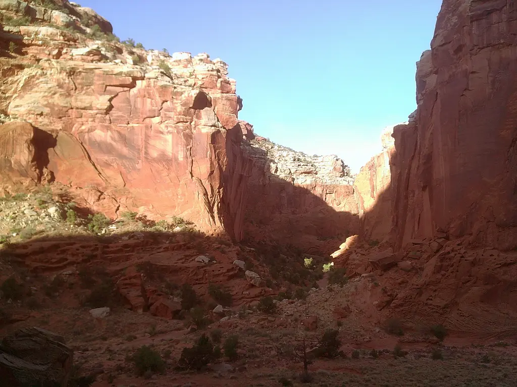
Spring Canyon
The next morning we packed up and made our short exit out of Spring Canyon. We hiked up to a view of Chimney Rock before crossing the interstate down into the Sulphur Creek. Sulphur Creek, unlike Spring Creek, is a prennial stream. The trail guide recommends you bring water shoes and check the weather before starting the hike as rain can make the trail impassible and dangerous (especially during the Summers). The ranger did warn us that there was a 20% chance of showers the day we would be hiking Sulphur Creek, but he said we would be fine and that there would likely be no risk of flash floods. It ended up just being overcast that day, but I made sure to keep my eye on the weather. The hiking down Sulphur Creek started off very fun as we had many crossing over the creek where we hopped over the stream, and walked over it on convenietly placed rocks. There were three small water falls where we had to scramble and pass our packs down. Each one at first looked impossible to pass, but once you got closer the ways to scramble by became clear. At the final waterfall there really was no option to scramble and we decided our only option was to take a seven foot jump down into the river bed to pass the section(this was a kinda daunting and Margo was super brave for doing this!!!). When we reached the end of Sulphur Creek we were back at the visitor center, but all the scrambling, and creek passing had made the five-ish mile hike take over three hours!
When we got to the visitors center we were beat! But we had one more section to go to make it to our planned camping site along Frying Pan trail. I stopped in the visitor center and asked if there was anywhere closer we could camp, but was sternly told we have to stick to our plan. So we filled up our water, and continued on to complete the hike. Right as we left the visitor center area, Margo spied a Marmot crawling along the desert hill near a well placed sign saying "Marmot X-ing". The final part of our day 2 hike had us go up through Cohab Canyon, a smaller but canyon whose rock walls had many intricate wind carved holes in the rock. I wish we had more time to enjoy Cohab Canyon, but we were intent on hustling to make camp before sunset.
We ended up finding a sandy wash out of the site from the trail by just a quarter mile or so, and we slept very good on the soft sand.

View of the first small waterfall in Sulphur Creek.
We woke up bright and early, had some tea, and packed up our tent to continue on. This was our easiest day, just six or so miles mostly going down and flat. We had one detour along the way to see Cassidy Arch, which was absolutely amazing. We both walked out to the Arch and peered down the dizzying crevase below.
After the detour we hiked another couple miles down the Grand Wash which was much like the first day of hiking through Spring Canyon, flat and easy going. Along the way we played games going through the alphabet and naming all sort of things like, foods, drinks, animals, movies, brands, and more. Once we made it out of the Grand Wash we had just under a mile to hike along the road back to our car to finish our loop. I don't think theres many things better than taking your boots off and slipping into flip flops. We both high fived, and got in the car and drove to Moab.
Another view of Spring Canyon on our first day of the trip.
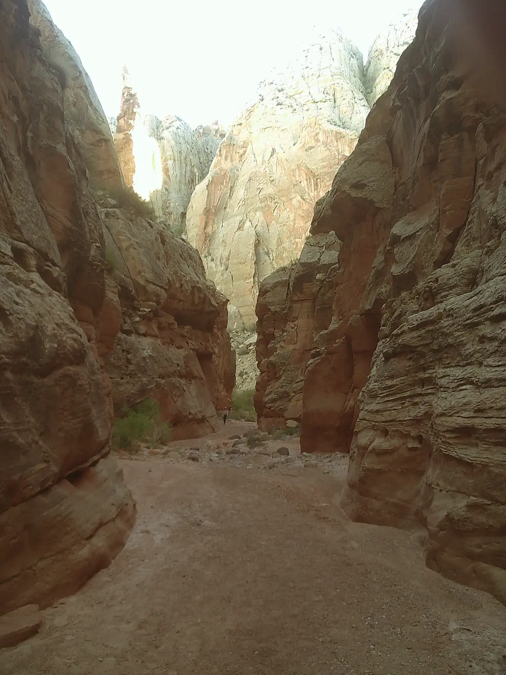
A view above our campsite in Spring Canyon